Humanitarian
Spatial Data Center
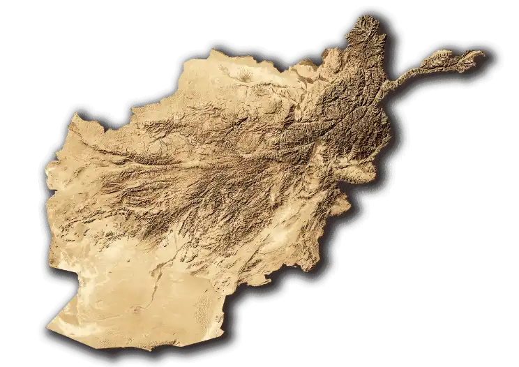
HSDC: An Information Management Tool for Humanitarian Programming in Afghanistan. Developed by iMMAP and funded by USAID, HSDC offers comprehensive data and analytics on disaster risks, demographics, accessibility, and more throughout Afghanistan. It's a vital resource for the humanitarian community, enabling more effective programming and supporting disaster risk reduction efforts.
50+
Datasets
5+
Dashboards
20+
Maps
Current Features
Our platform comes packed with powerful features to help you achieve your goals. Here are some of the things you can expect:

Datasets
The HSDC provides access to a spatial data catalogue developed specifically for the humanitarian community. The catalogue includes detailed information on flooding, landslides, avalanches, earthquakes, environment/terrain, infrastructure, essential services, demographics, accessibility and more. The datasets can be analyzed through the build-in interactive maps and dashboards and are available for download. The catalogue is continuously updated and can be augmented based on user requests.

Dashboards
The HSDC provides clear and rapid access to essential information through interactive dashboards. Disaster information is analyzed and translated into numbers of people, buildings and areas exposed to disaster risks at different spatial levels. The dashboards are powered by a combination of advanced disaster risk analysis and the latest data on population and infrastructure, thus providing valuable risk exposure indicators for humanitarian organizations.

Maps
The HSDC provides access to data and analysis through both static maps and interactive web maps. Users can overlay spatial layers such as infrastructure, demographics and disaster risks to build custom maps relevant to their activities. The interactive maps provide access to the entire spatial data catalogue and aims to serve as an online GIS environment enabling informed decision making for humanitarian organizations through easy access to spatial data.
Upcoming Features
Our platform is constantly evolving to provide you with the most comprehensive and up-to-date information. Here's a sneak peek of our upcoming features:

Accessibility maps
Travel time to essential services across all of Afghanistan.

Climate data
Detailed climate data and analysis.

Settlement level information
Settlement boundaries and disaster risk data at settlement level.

Drought
Forecast of drought affected areas and type of land cover impacted.